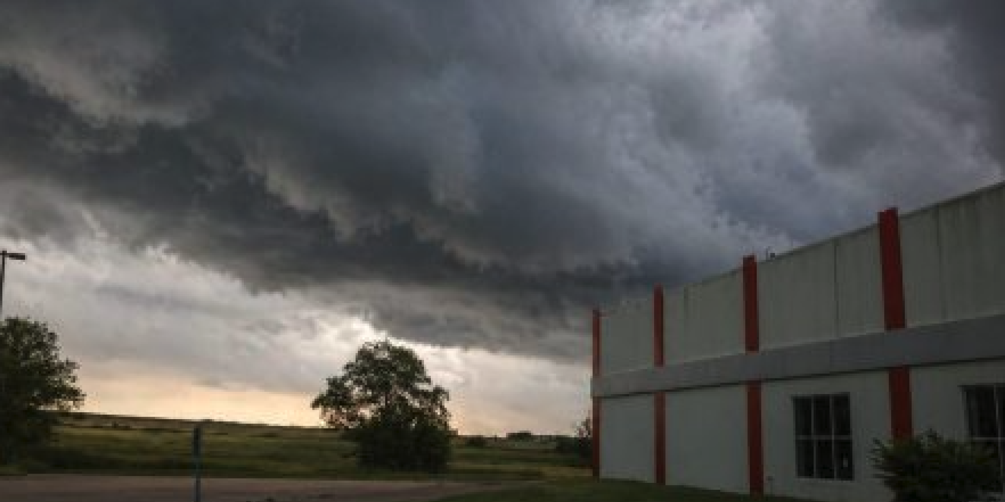
As a cold front moved across North Texas on Tuesday, severe storms returned to the Dallas-Fort Worth Metroplex, posing a threat of giant hail, destructive winds, and an isolated tornado.
Throughout the afternoon and evening, the National Weather Service issued many warnings, including tornado warnings for portions of Hill County and Johnson County. Skilled storm spotters detected a "rotating wall cloud" near Rio Vista, indicating the possibility of tornado development, and radar revealed rotation.
Forecasters warned that storms may produce hail up to 3.5 inches in diameter—larger than a baseball—as well as wind gusts of up to 70 mph. A tornado watch was in force for parts of North Texas until 9 p.m.
Large hail battered portions of Johnson County earlier in the evening; officials confirmed that the hail was the size of a golf ball, and some locals reported hail as large as three inches. As the storms grew worse, Ellis County, Hill County, and Johnson County were also under severe thunderstorm warnings.
Storms were predicted to be most active between 3 and 10 p.m., with the late afternoon commute likely to have the greatest effects, according to officials.
As lightning, hail, and strong winds passed across the area, the storms caused delays and cancellations at Dallas Love Field and Dallas/Fort Worth International Airport.
Only a few days after an EF-2 tornado hit portions of Parker County and Wise County, killing two people and seriously damaging towns like Mineral Wells, the severe weather has returned. While recovery work continues and several schools remain shuttered, authorities have since identified the victims.
Storm chasers captured photos in the most severely affected locations, revealing extensive damage to homes and infrastructure. The National Weather Service anticipates more storm surveys to verify tornado strength and track patterns.
Forecasters predict that unsettling weather will last the entire week, with sporadic showers continuing until Friday, when a more extensive wave of heavy rain is expected. As the rainfall increases, certain areas of North Texas may experience isolated flooding.
Conditions should improve by the weekend as drier air moves into the area.


From breaking news to thought-provoking opinion pieces, our newsletter keeps you informed and engaged with what matters most. Subscribe today and join our community of readers staying ahead of the curve.
From breaking news to thought-provoking opinion pieces, our newsletter keeps you informed & engaged.


.png)

.png)